
Inver Grove Heights Neighbors by Parcel
Official sources describe a block in layers. The county's map shows parcels around a known address. Property and tax panels can identify an owner and mailing address. CityView can confirm a public property location or municipal activity. Voter information is far more limited than a map search, and community programs are for civic contact rather than household listings. Use each source for its actual purpose before drawing a conclusion about Inver Grove Heights neighbors.
| Source | What It Shows About a Block | Access |
|---|---|---|
| Dakota County Property Information | Selected parcel boundaries, owner and mailing fields, legal description, tax and building panels | Known address or Parcel ID |
| Dakota County tax information | Current owner, property and legal address, taxes, special assessments, and recent tax years | House number or Property ID |
| Inver Grove Heights CityView | Existing city property locations and address or parcel-based activity | Property Address or Parcel Number |
| MNVotes | Confirmation for one known person and address, not a block roster | Required identity and address form |
| Neighborhood Watch | Official civic-program contact and cooperation information | Program contact, not a membership list |
Ownership is not occupancy. A parcel owner may receive tax mail somewhere else, a property can contain several units, and a homestead classification is a tax status rather than proof of who lives there. The county's public map also has no owner-name search in the inspected interface. Start with the address or Parcel ID, not a broad name search.
Inver Grove Heights GIS Block Walk
The county's Property Information help describes the address and Parcel ID route. After selecting the known parcel, pan or zoom just far enough to see the touching parcels, then select each one in turn. Record only fields that appear in the public panel. A PID or Parcel ID, legal description, municipality, owner, and mailing field make a more reliable block note than a pin placed near a house.
- Enter the known street address or Parcel ID in Dakota County Property Information and select the matching parcel.
- Save the parcel ID, legal description, municipality, and the property's situs address before moving around the map.
- Pan and zoom to the adjoining parcels, then click each parcel and record the public owner and mailing field with its parcel ID.
- Use tax data, plats, and the legal descriptions to distinguish a shared street from a shared block. Check CityView only for address-specific municipal activity.
- For an entire named street rather than the immediate block, use the Inver Grove Heights By Street directory and its longer address-record trail.
Insider tip: The selected parcel can expose owner mailing, legal, tax, and building information, but the public route remains address or PID keyed. It does not supply a general owner-name lookup. That limitation is useful because it keeps the inquiry tied to a real place.
For an older recorded-land question, the county's RecordEASE route is account and payment gated. Use the selected parcel's legal description and current owner as starting information, then ask the recorder for the appropriate document or copy route. The map is best for orientation and parcel relationships, not a complete chain of title.
Inver Grove Heights Neighbor Map Context
Map layers add location context, not household facts. Dakota County lists street, aerial, Bird's Eye, zoning, floodplain, school, watershed, road, and recent-sales layers among the useful views. They can clarify whether two parcels meet at a boundary, sit across a road, or fall within a mapped district. Aerial imagery and a parcel outline cannot say who knows whom or whether people share a household.
Myth: adjacent parcels prove a private relationship. They do not. Parcel proximity is geography, while a deed, tax record, directory listing, or civic program each describes a separate, dated role. Keep those roles separate for every block entry.
CityView accepts a required Property Address field or Parcel Number for existing city locations. Permit applications and uploads require registration, and the public locator does not promise a complete historic record. Treat a CityView hit as municipal property activity, not evidence of current residents.
Note: Owner mailing and situs addresses answer different questions, so record both labels rather than treating either one as occupancy proof.
Inver Grove Heights Neighbor Voter Limits
MNVotes cannot display every voter on a block. It requires a known person's first and last name, full date of birth, county or ZIP mode, city or township, house number, street, and a unit number when applicable. A successful registration check is precise. It does not reveal party choice or ballot choice, and a failure can reflect spelling, a recent update, protection, or an unregistered person.
A registered-voter list is a separate product governed by Minn. Stat. § 201.091. A registered Minnesota voter must certify a permitted use, choose a geographic area, pay the required charge, and follow restrictions on publication, sale, and transfer. The current voter-list request form offers geographic choices such as county, city or town, precinct, ward, and district. Publicly eligible fields can include name, address, year of birth, voting history, phone if supplied, and districts; full date of birth and government identifiers are excluded.
Safe at Home participants and protected voters can have addresses withheld or substituted. That is why a blank search does not establish that a person is not an Inver Grove Heights neighbor.
Inver Grove Heights Civic Neighbor Contacts
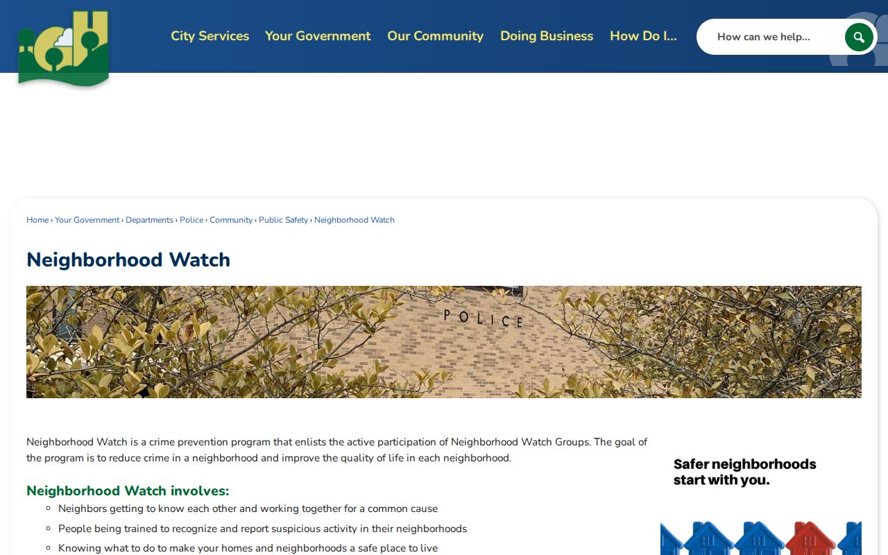
The verified city program is Neighborhood Watch. It supports active groups, training to recognize and report suspicious activity, and cooperation among neighbors. The public page does not publish a group-by-group roster, membership list, or boundary map. Use it to learn about the civic program or ask for public program information, not to identify private households.
The official Neighborhood Watch page is the source for the city program and its public contact information.
The city provides the program contact at 651-450-2525. Its emphasis on training and cooperation is a useful civic route when a resident wants public program guidance, but it is not a substitute for a property record or a private member directory.
Inver Grove Heights Neighborhood Watch
Active group, training, and neighborhood-cooperation program.
651-450-2525
City Community Programs
Our Community and Night to Unite provide civic-program context, not resident rosters.
No Inver Grove Heights Association Roster
No complete official HOA, condominium, subdivision, or neighborhood-association inventory was located in the research. That absence matters. Do not turn a street name, parcel subdivision, or online mention into a claim that a formal association exists or that a household belongs to one. City staff or a verified program may be able to explain a public contact route, but no roster should be inferred.
Business and civic directories can help identify local organizations, not residents. They should not be used as a neighborhood roll. For older place names, plats, telephone directories, newspapers, and local government records are better leads than a commercial organization listing.
Comparing Inver Grove Heights Neighbor Sources
Official records explain which public office supplied a result and when. Commercial neighbor tools may combine older and current material from many sources, but they do not replace the custodian's record, a protected-address rule, or an address-based parcel selection. Compare a result against the county or city source before repeating it.
| Official block records | Commercial neighbor tools | Best use |
|---|---|---|
| Address or PID selection, parcel fields, and named custodian | Compiled information with unclear update dates or source limits | Use the official record to establish the parcel and source date |
| Restricted voter-list process and protected-address rules | May omit restrictions or retain stale entries | Follow the statute and verify with election officials |
| City program contact without a household roster | May imply associations or relationships not established by records | Ask for public civic-program information only |
When the county or city source conflicts with a compiled result, preserve the official source date and resolve the difference with the office that keeps the record. A current mailing field, parcel boundary, and historical directory entry can all be accurate for different dates.
Historic Inver Grove Heights Block Clues
Older neighborhood questions often require historical sources rather than a current parcel screen. Dakota County Historical Society and the Minnesota Historical Society hold telephone directories, census material, church and cemetery records, obituaries, newspapers, maps, and local-government records. The city formed in 1965 after the township and Village of Inver Grove had coexisted for decades, so older materials may use Inver Grove, Invergrove, township, village, or regional St. Paul naming.
The Dakota County Historical Society research service is in South St. Paul, while core county offices and the Judicial Center are in Hastings. The Minnesota Historical Society library holds additional maps, tax lists, local-government records, and newspapers. This records geography helps explain why a neighborhood history search may move between Inver Grove Heights, Hastings, South St. Paul, and St. Paul.
The historical society's Lawshe Memorial Museum and Research Library provides a human fallback when a map does not answer a neighborhood question. Its documented research program includes print, microfilm, and online material across church, cemetery, census, military, obituary, marriage-announcement, and newspaper records. Use a historic source to understand a past street or locality name, then return to current county parcels before treating it as a present block fact.
Private Limits for Inver Grove Heights Neighbors
Minnesota's Safe at Home program can substitute a designated address for a residential address. Court, voter, vital, and other data can also be protected by law. The Minnesota Government Data Practices Act makes public data available unless another classification closes it, but it does not erase those protections. A focused request should name the office, record type, address or parcel, date range, and preferred format.
Do not infer a resident from a tax owner, homestead classification, deed party, phone listing, or a single voter-related result. Do not share full dates of birth, identifiers, protected addresses, or sensitive private material. The immediate block is an official-record geography, not a license to investigate a person's private life.
Lawful use. Use public Inver Grove Heights neighbor records for personal, civic, family-history, property, or safety research. Never use an address, map, or civic contact to stalk, harass, threaten, surveil, or intimidate anyone.